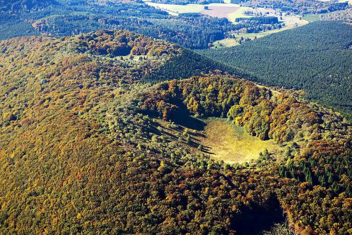
Top 5 Hikes on the Volcanoes of Auvergne
The Puy-de-Dôme and its chain of volcanoes, a short drive away
Camping de la Croze sits at the gateway to the Chaîne des Puys, a UNESCO World Heritage site: just half an hour’s drive away, you’ll find yourself at the foot of some thirty dormant volcanoes forming one of the most beautiful landscapes in the Massif Central. After our hikes starting right from the campsite, here’s our pick of the 5 best walks for discovering these peaceful giants.
Walking shoes, water and a bit of time are all you need: these waymarked trails, suitable for the whole family, take you to the top of ancient craters for 360° panoramas over all of Auvergne. A quick tip before you set off: stop by reception, we’ll point you to the best route to each starting point.
1. Puy de Dôme via the Col de Ceyssat — the iconic summit
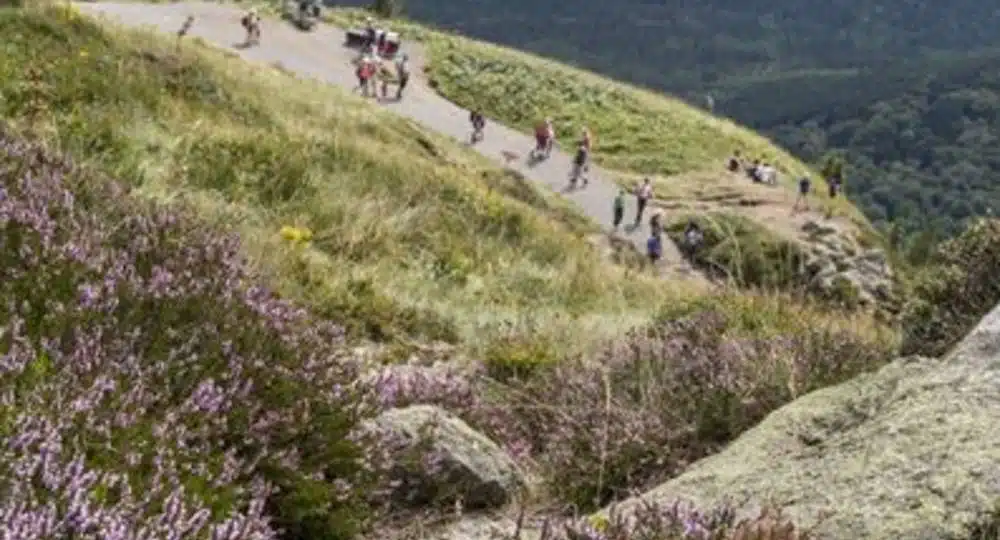
This is THE summit you can see from across the whole department, and it fully deserves its reputation. From the Col de Ceyssat, the trail starts on a wide, shaded path, then narrows into switchbacks offering increasingly beautiful views over the Chaîne des Puys. Once at the top (1,465 m), the panorama stretches over Clermont-Ferrand, the Limagne plain and dozens of volcanoes — you can also visit the remains of the Temple of Mercury and watch paragliders taking off from the plateau.
Practical info
| Distance | 5.46 km |
| Duration | about 2h40 |
| Elevation gain | +392 m |
| Difficulty | moderate |
| Type | out-and-back |
| Start | Col de Ceyssat car park, Orcines |
Full route on Visorando.
2. Puy Pariou from the Goules car park — the perfect crater
Puy Pariou is arguably the most photogenic volcano in the Chaîne des Puys, with its almost perfectly circular crater. The loop starts with a pleasant, well-signposted climb through woodland, reaches the crater rim (1,189 m) for a 360° panorama, then descends via a long wooden staircase before returning along the volcano’s eastern slope, with lovely views of the nearby Puy de Dôme.

Practical info
| Distance | 6.09 km |
| Duration | about 2h20 |
| Elevation gain | +217 m |
| Difficulty | moderate |
| Type | loop |
| Start | Goules car park, Orcines (GPS N 45.803959° / E 2.987068°) |
Access inside the crater and walking all the way round the volcano are now forbidden to protect the site: stay on the marked trail. Full route on Visorando.
3. Puy des Goules and the Grand Sarcoui — following in the footsteps of Merovingian quarrymen
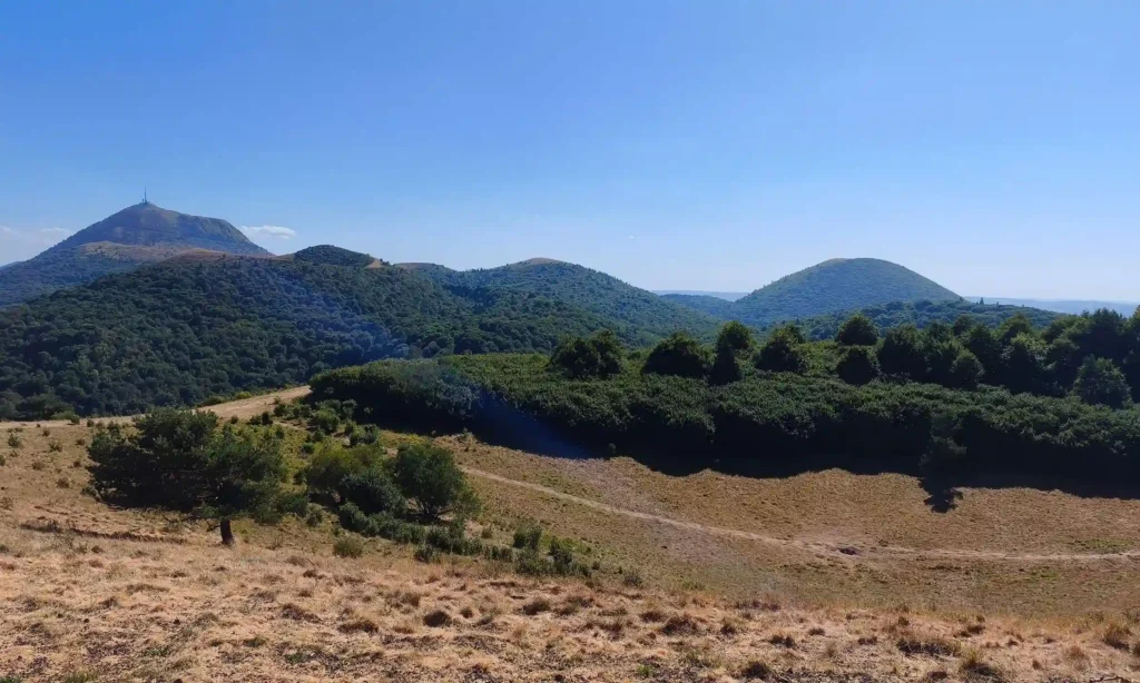
This family-friendly loop links two volcanoes with very different profiles. The trail first climbs through forest up to the Grand Sarcoui, where an old Merovingian quarry (5th-7th century) is a reminder that volcanic rock was long used to carve sarcophagi. From there, head to the Puy des Goules and its perfectly preserved strombolian crater, before a descent through woodland offering successive views over the Limagne plain.
Practical info
| Distance | 8.12 km |
| Duration | about 3h15 |
| Elevation gain/loss | +339 m / -340 m |
| Difficulty | moderate |
| Type | loop |
| Start | Goules car park, Orcines (D941, past the hamlet of la Fontaine du Berger) |
According to several recent hiker reports, access to the top of the Grand Sarcoui may now be forbidden: check the markers on site before setting off. Full route on Visorando.
4. Puy de Jume, Puy de la Coquille and Puy des Gouttes — the big forest walk
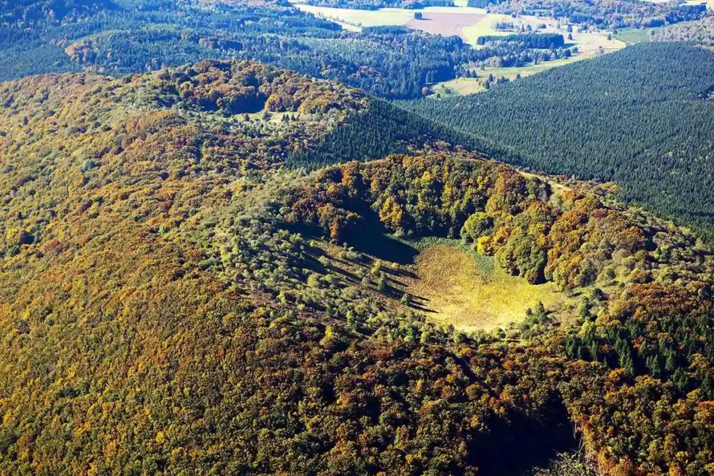
The longest hike in our selection crosses no fewer than three volcanoes, largely under forest cover between 900 and 1,165 m altitude — ideal on hot days. The route, marked as the GR®441, passes an original sculpture (“Chut!”) right at the first junction, then strings together lovely viewpoints at each summit. The finest panorama awaits at the Puy des Gouttes, with a clear view over the Puy de Dôme, Vulcania and the Puy de Lemptégy.
Practical info
| Distance | 11.51 km |
| Duration | about 4h25 |
| Elevation gain | +404 m |
| Difficulty | moderate |
| Type | loop |
| Start | Beauregard car park, Saint-Ours (via D943 then D576) |
No water points or shelters along the way: bring enough water and a picnic. Full route on Visorando.
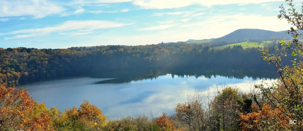
5. Gour de Tazenat — the lake nestled in a crater
The shortest and easiest of the five, perfect for rounding off the selection gently or for a family outing with young children. The trail loops around the Gour de Tazenat, a lake set in an ancient volcanic crater, alternating open stretches with views of the Chaîne des Puys and wooded sections via the hamlet of les Forges. The lake’s shores are accessible so you can make the most of the site.
Practical info
| Distance | 3.87 km |
| Duration | about 1h20 |
| Elevation gain | +79 m |
| Difficulty | easy |
| Type | loop |
| Start | Gour de Tazenat car park, Charbonnières-les-Vieilles (GPS N 45.980598° / E 2.985441°) |
Great at the end of the day or with young children. Full route on Visorando.
Need some advice before you set off?
Our reception team will be happy to point you in the right direction based on your fitness level, the day’s weather or your children’s age, and to show you the best driving route to each starting point. So, which volcano will you climb first?
Want to explore further?
Looking for more walking ideas? Check out our selection of 4 hikes starting right from Camping de la Croze, perfect for families.
To plan your visit, discover our dedicated page on the Puy de Dôme, as well as our practical information for visiting Vulcania, the park dedicated to the volcanoes of Auvergne.
Fancy pitching your tent at the foot of the volcanoes? Check our availability and book your 2026 stay.