6 Mountain Bike Routes Around Camping de la Croze
Craving fresh air? Hop on your mountain bike!
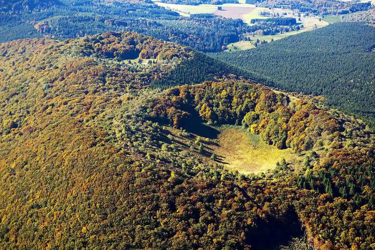
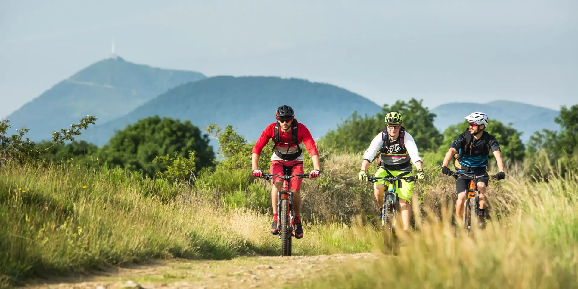
Set at the gateway to Châtel-Guyon, Camping de la Croze is an ideal starting point for exploring the volcanic landscapes of the Chaîne des Puys and the Limagne plain by mountain bike. Forest trails, volcanic paths and small country roads: the area has around twenty routes marked out by the Terra Volcana tourist office, for all levels. Here’s our pick of 6 mountain bike routes to try from the campsite, from the most accessible to the most demanding.
1. The Birlou Route — a family ride to the Gorges d’Enval
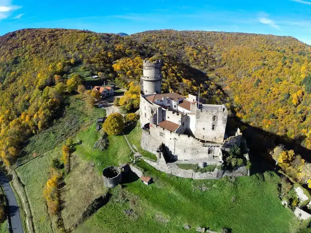
Opened in summer 2025 by the Terra Volcana tourist office, this new family route links Châtel-Guyon to Enval along the former Riom – Châtel-Guyon railway line, now converted into a greenway (the Thermal Express), then follows the Ambène stream. With no particular difficulty, it offers lovely views of the Château de Tournoël and gives access to the Gorges d’Enval for hiking enthusiasts.
Practical info
| Distance | 13 km |
| Elevation gain | low (family route, no difficulty) |
| Difficulty | easy |
| Start | Terra Volcana Tourist Office, 1 avenue de l’Europe, Châtel-Guyon |
| Distance from campsite | about 5 minutes by car |
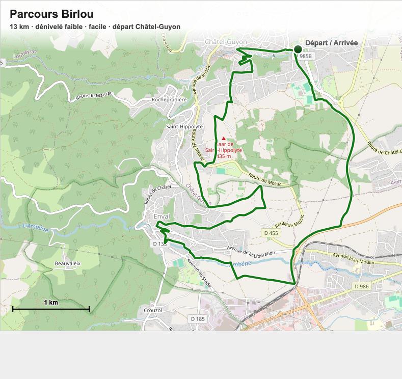
Full details and GPX track on Terra Volcana.
2. The Madargascar Route — between vineyards and heritage
The second family route launched by Terra Volcana in 2025, this one links Châtel-Guyon to Saint-Bonnet-près-Riom through the Madargue vineyard slopes and the Saint-Don district of Riom. Accessible and technically easy, it reveals lovely panoramas over the Chaîne des Puys and passes through a charming winemaking village with a rich history.
Practical info
| Distance | 12.6 km |
| Elevation gain | low (family route, no difficulty) |
| Difficulty | easy |
| Start | Terra Volcana Tourist Office, 1 avenue de l’Europe, Châtel-Guyon |
| Distance from campsite | about 5 minutes by car |
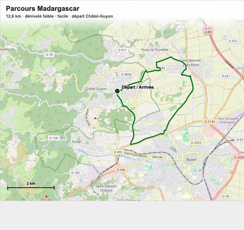
Full details and GPX track on Terra Volcana.
3. Le Béchet et la Croix — the closest to the campsite
Starting from Châtel-Guyon, just minutes from the campsite, this route climbs towards Mont Châlusset for a lovely view over the spa town before descending on more technical paths. A good compromise between effort and proximity.
Practical info
| Distance | 11 km |
| Elevation gain | 300 m |
| Difficulty | moderate |
| Start | 6 route de Riom, Châtel-Guyon |
| Distance from campsite | about 5 minutes by car |
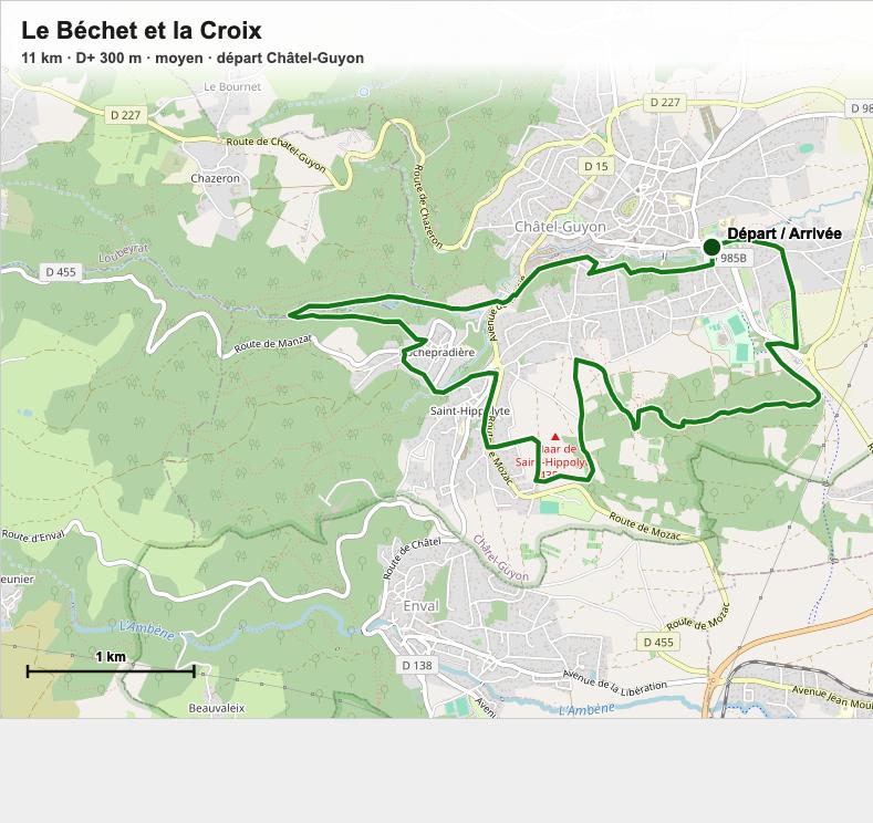
GPX track and full details on Cirkwi.
4. La Rand’Ours — in the footsteps of Vulcania
Starting from the motorhome car park at Vulcania, this rolling route crosses the lava flows of la Combe and the puys de Gouttes and de Chopine, passing through traditional villages built of volcanic stone. Wide and not very technical, it suits beginner mountain bikers wanting to rack up the kilometres.
Practical info
| Distance | 31.2 km |
| Elevation gain | 478 m |
| Difficulty | easy |
| Start | Vulcania motorhome car park, route de Mazayes, Saint-Ours |
| Distance from campsite | about 15 minutes by car |
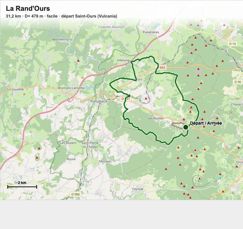
Full details on Decathlon Outdoor.
5. The Sources de la Morge — the big sporty loop
Starting from a car park near Châtel-Guyon, this loop climbs up to the sources of the Morge through forest tracks and volcanic trails. It calls for good fitness and confident bike handling, but rewards the effort with beautiful views over the Chaîne des Puys.
Practical info
| Distance | 32.8 km |
| Elevation gain | 610 m |
| Difficulty | moderate |
| Estimated duration | about 2h45 |
| Start | car park near Châtel-Guyon |
| Distance from campsite | about 5 minutes by car |
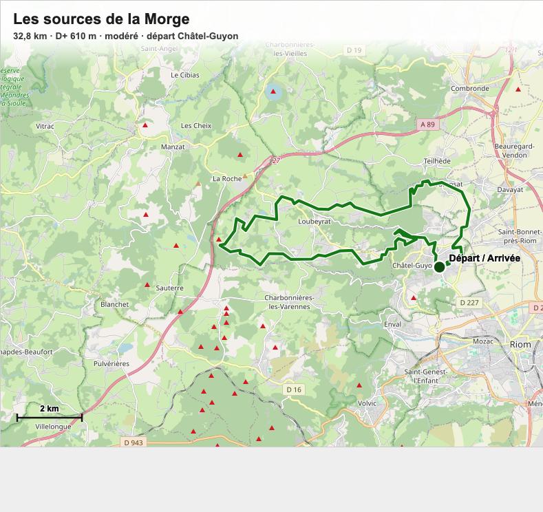
Full details on Komoot.
6. La Belle Volcanique — the challenge for experienced riders
The most demanding route in our selection, reserved for mountain bikers with solid experience. Starting from Saint-Ours, this big loop explores the volcanic relief of the Chaîne des Puys in depth, with a substantial amount of climbing along the way.
Practical info
| Distance | 49 km |
| Elevation gain | 1,054 m |
| Difficulty | hard |
| Start | Saint-Ours |
| Distance from campsite | about 15 minutes by car |
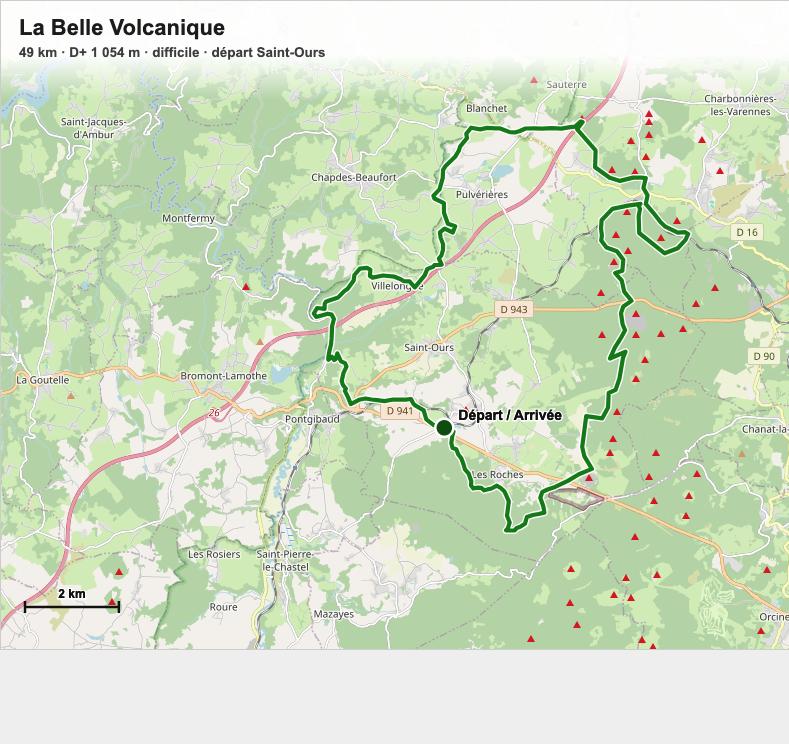
GPX track and full details on Cirkwi.
Need advice or a bike before you set off?
Didn’t bring your own bike? Head to Le Vélodrome in Châtel-Guyon, just minutes from the campsite, or Volcanic Cycles in Enval (138 route de Volvic), both of which rent mountain bikes and e-mountain bikes. For GPX tracks, you’ll find most of them on Cirkwi, Komoot or VisuGPX, downloadable straight to your GPS or smartphone. Our reception team will also be happy to advise you based on your level and the current state of the trails. So, which route will you choose first?
Want to explore further?
Want to round off your stay with some great hikes? Check out our selection of 4 hikes starting right from Camping de la Croze, as well as our Top 5 Hikes on the Volcanoes of Auvergne, just minutes away.
To plan your visit, find all our information on our dedicated Châtel-Guyon page.
Fancy pitching your tent at the foot of the volcanoes? Check our availability and book your 2026 stay.