Top 4 Hikes Starting From Camping de la Croze
Craving fresh air? Lace up your boots!
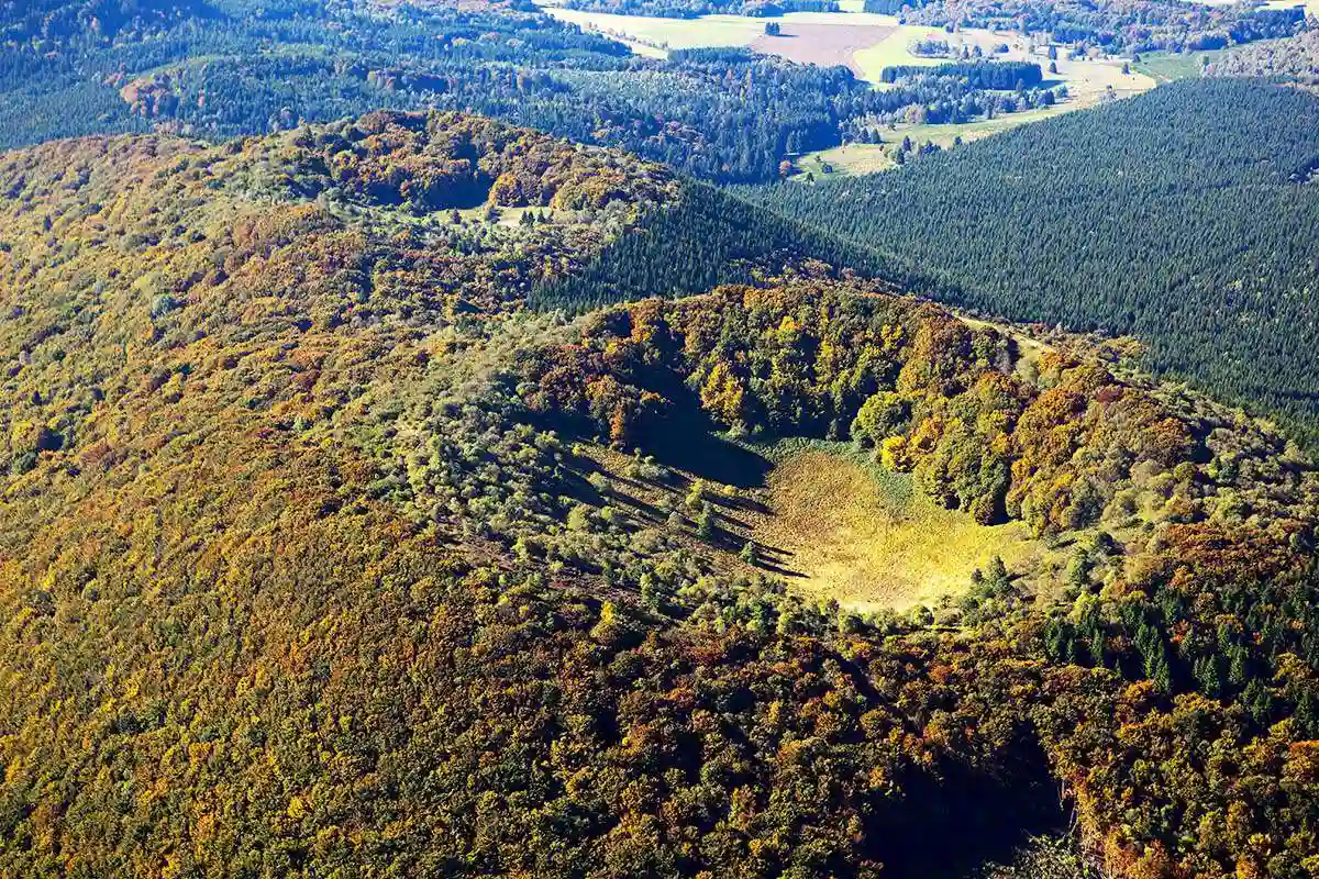
Camping de la Croze is lucky enough to sit at the foot of the Auvergne volcano range, between river-carved gorges and summits overlooking the Limagne plain. Whether you’re a seasoned hiker or prefer gentle family strolls, you’ll find something to love among the trails winding around Châtel-Guyon and Saint-Hippolyte.
Here’s our pick of the 4 best hikes starting from the campsite — one of them even begins right at the car park next door! A quick tip before you head off: stop by reception, we have trail maps and the latest weather updates for the day.
1. La Vallée de Sans Souci — the ultimate family walk
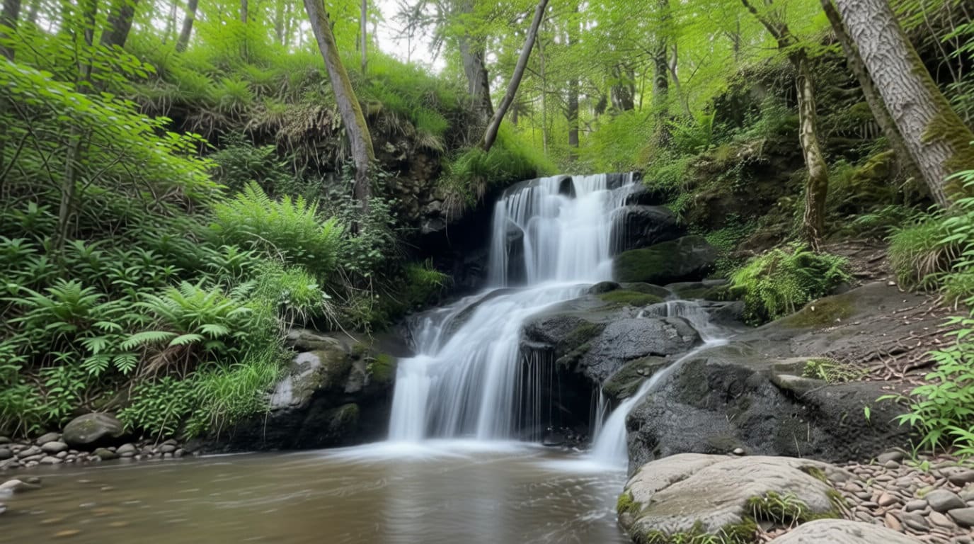
As the name suggests, this hike is perfect for a gentle disconnect. The trail winds through the shade along the Sans Souci stream, past moss, little wooden bridges and rocks — keep an eye on kids near the water! A short 15-minute detour takes you to admire the cascade des Écureuils, and the more adventurous can extend the walk to the Château de Chazeron, which overlooks the valley in the distance.
Practical info
| Distance | 5.1 km |
| Duration | about 1h50 |
| Elevation gain | +138 m |
| Difficulty | easy |
| Type | loop |
| Start | place de la Déportation, Saint-Hippolyte |
Great with kids or your dog. Best in spring or autumn, while the stream is still flowing (it can dry up in high summer). Full route on Visorando.
2. The Gorges d’Enval, via the Apage trail — the “wild nature” hike
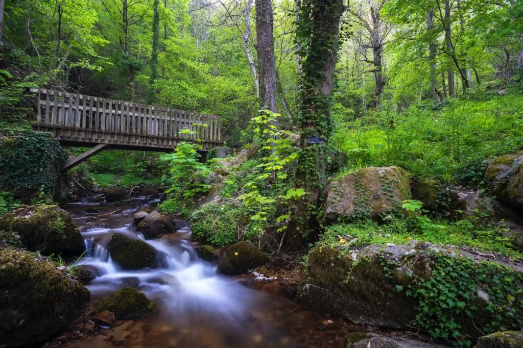
Head for the gorges carved out by the little Ambène stream on this more energetic hike. The Apage trail takes you through a genuine canyon, between rock walls, a waterfall and cool woodland — a real change of scenery just minutes from the campsite. You’ll need sturdy legs for the more technical sections, but the panorama over the surrounding countryside at the top more than rewards the effort.
Practical info
| Distance | 8.25 km |
| Duration | about 3h15 |
| Elevation gain/loss | +320 m / -318 m |
| Difficulty | moderate |
| Type | loop |
| Start | Enval / Saint-Hippolyte area (GPS N 45.89853° / E 3.04666°) |
Good hiking boots recommended, as the trail can be slippery after rain. Full route on Visorando.
3. Béchet and Mont Chalusset — panorama over the spa town
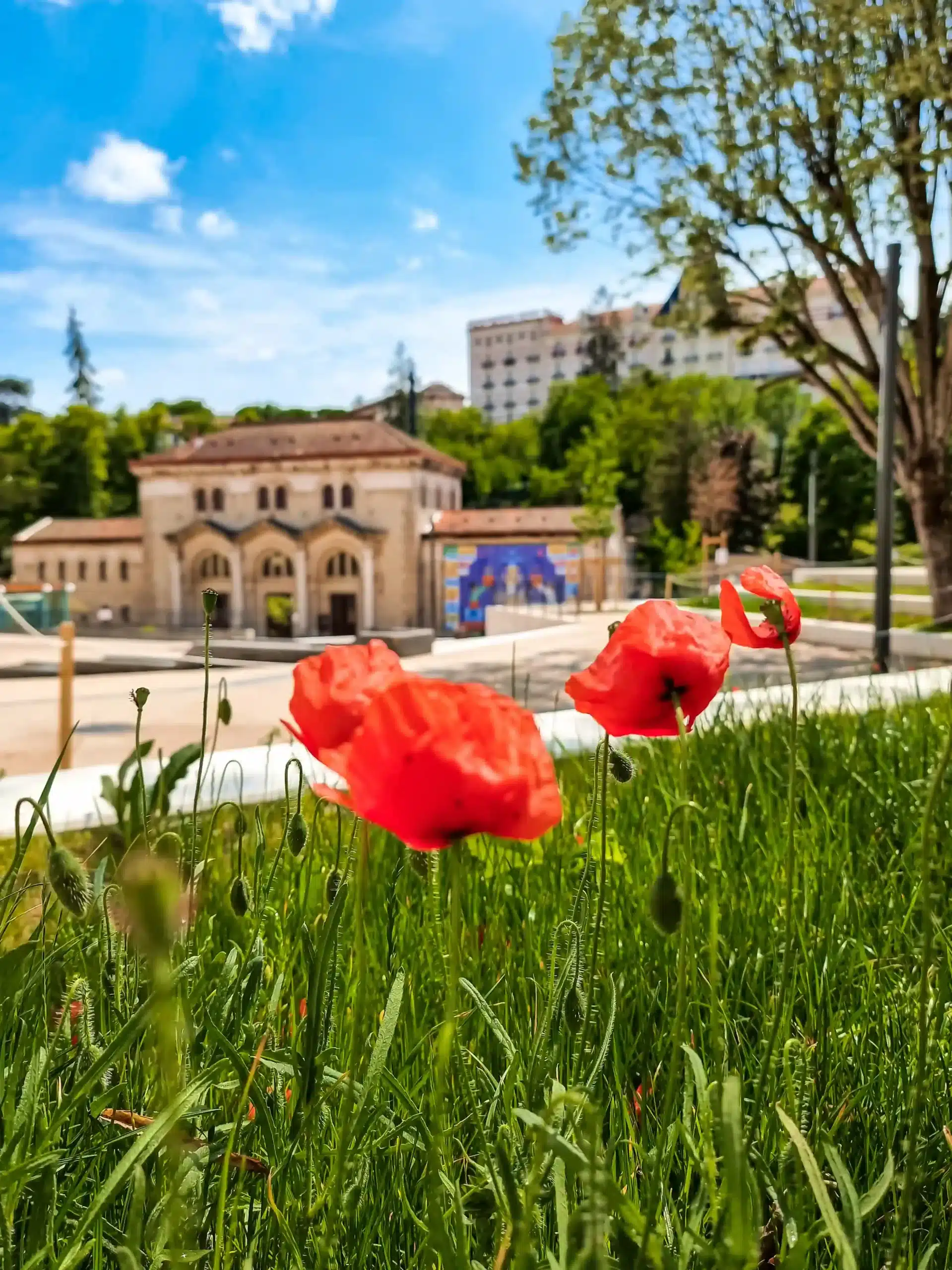
This loop, starting from the Châtel-Guyon tourist office, climbs to the top of Mont Chalusset through woods and winding trails. The climb takes a bit of effort, but it’s rewarded with a clear view over the spa town and its surroundings. On the way back, you’ll cross the thermal park of Châtel-Guyon, a peaceful spot that’s perfect for catching your breath before heading back to the campsite.
Practical info
| Distance | 7.6 km |
| Duration | about 2h |
| Elevation gain | about 150 m |
| Difficulty | hard (a few sustained climbs) |
| Type | loop |
| Start | Tourist Office, 1 avenue de l’Europe, 63140 Châtel-Guyon (about 10 minutes by car from the campsite) |
Follow the blue markers and keep an eye out at the junctions: the trail has several changes of direction. Full route on Terra Volcana.
4. Montaclier — the big loop that starts… right from the campsite!
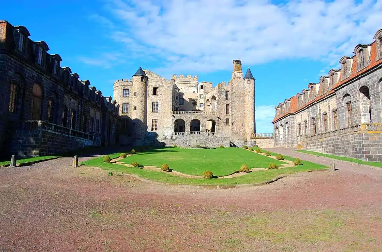
The best surprise in this selection: this hike starts right at the stadium car park, next to Camping de la Croze. No need to hop back in the car — you can lace up your trainers straight from your pitch! It’s also the longest and most complete of the 4 hikes: the trail crosses the villages of Saint-Hippolyte, Douhady and Enval, runs alongside the Gorges d’Enval carved out by the Ambène, then climbs up to the puy de Paugnat and the Montaclier hill. Once at the top, the panorama stretches across the whole Limagne plain, Riom, the Forez plain, and the Château de Tournoël and Château de Chazeron.
Practical info
| Distance | 14 km |
| Duration | about 3h45 |
| Max altitude | 422 m |
| Difficulty | moderate |
| Type | loop |
| Start | stadium car park, right next to Camping de la Croze, Saint-Hippolyte |
Bring water, a hat and something warm in case of wind up on the heights. Dogs must stay on a lead (livestock along the route) and the yellow markers guide you the whole way round. Full route on Balirando.
Need some advice before you set off?
Our reception team will be happy to advise you based on your fitness level, the day’s weather or your children’s age, and to give you trail maps. So, which hike will you choose first?
Want to explore further?
Craving more spectacular summits? Check out our other selection, Top 5 Hikes on the Volcanoes of Auvergne, 20 minutes from the campsite.
To plan your stay, find all our information on our dedicated Châtel-Guyon page.
Fancy pitching your tent near these trails? Check our availability and book your 2026 stay.